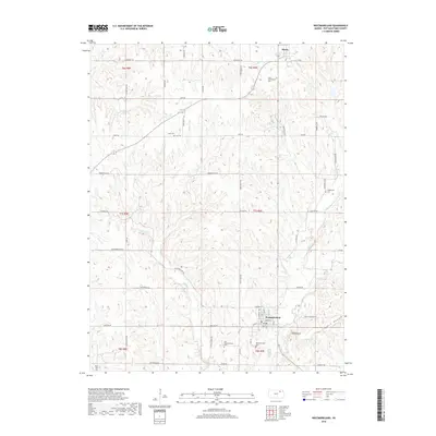
2018 Map of Westmoreland
USGS Topo · Published 2018About this map
Westmoreland serves as the primary hub in this portion of Pottawatomie County, situated at the intersection of local routes like Bigelow Rd and Main St. The landscape is defined by a dense network of watercourses and elevation changes, including Mt Ephraim and the prominent Deep Hollow to the east. The distribution of burial sites throughout the township, such as Saint Columkilles Cem near Blaine and Huff Cem further south, provides a clear spatial record of early settlement patterns and family plots.
Find a feature on this map
64 named features on this map. Tap any name to fly to it.
Don’t see what you’re looking for? This feature index may not catch every label — zoom into the map to look around manually.
Map Details
Editions of this 2018 Westmoreland Map
This is the sole edition of this map. No revisions or reprints were ever made.
Other maps of this area

1886 · Junction City
USGS Topo · 1:125,000

1889 · Seneca
USGS Topo · 1:125,000

1889 · Wamego
USGS Topo · 1:125,000

1889 · Marysville
USGS Topo · 1:125,000

1889 · Junction City
USGS Topo · 1:125,000

1894 · Junction City
USGS Topo · 1:125,000

1894 · Seneca
USGS Topo · 1:125,000

1894 · Marysville
USGS Topo · 1:125,000

1894 · Wamego
USGS Topo · 1:125,000

1955 · Manhattan
USGS Topo · 1:250,000