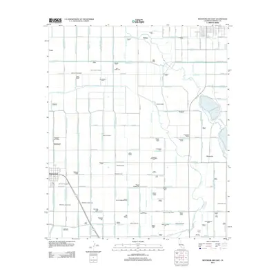
2012 Map of Westmorland East
USGS Topo · Published 2012About this map
Westmorland anchor the western edge of this Imperial County landscape, where an intricate web of irrigation infrastructure supports the region's agricultural productivity. The map documents a sophisticated water management system, tracing the courses of the Alamo River and the New River alongside a dense network of man-made waterways like the Vail Supply Canal and Rockwood Canal. Smaller settlements and transit points including Fondo, Verdant, and Rockwood appear as nodes within this grid of fields and drains. The presence of Hovley Siding at the southern border underscores the historical importance of rail transport in moving crops from the desert's reclaimed fields to distant markets. Every lateral, drain, and road is precisely surveyed, providing a clear record of the rural infrastructure that sustains communities like Hovley in the early 21st century.
Find a feature on this map
172 named features on this map. Tap any name to fly to it.
Don’t see what you’re looking for? This feature index may not catch every label — zoom into the map to look around manually.
Map Details
Editions of this 2012 Westmorland East Map
This is the sole edition of this map. No revisions or reprints were ever made.
Other maps of this area

1907 · Holtville
USGS Topo · 1:125,000

1915 · El Centro
USGS Topo · 1:125,000

1940 · Brawley
USGS Topo · 1:62,500

1940 · Iris
USGS Topo · 1:62,500

1940 · Alamorio
USGS Topo · 1:62,500

1942 · El Centro
USGS Topo · 1:250,000

1943 · Brawley
USGS Topo · 1:62,500

1944 · Calipatria
USGS Topo · 1:62,500

1945 · Alamorio
USGS Topo · 1:62,500

1945 · Iris
USGS Topo · 1:62,500