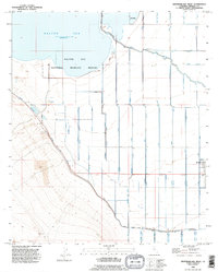
1992 Map of Westmorland West
USGS Topo · Published 1995About this map
The Salton Sea National Wildlife Refuge dominates the northern reaches of this landscape, situated along the shoreline of the Salton Sea. This 1990s revision reveals an intricate hydraulic environment defined by the New River and an extensive network of irrigation infrastructure. The terrain is subdivided by engineered waterways such as the Vail Canal, Trifolium Drain, and the Westside Main Canal, illustrating the heavy reliance on water management for agricultural production in the Imperial Valley. Near the eastern edge, the settlement of Westmorland appears at the junction of several lateral lines. The presence of numerous Pits and a Gaging Sta along the river highlights the active monitoring and modification of this low-lying basin, where protective Levee systems separate the managed fields from the expansive waters of the sea.
Find a feature on this map
29 named features on this map. Tap any name to fly to it.
Don’t see what you’re looking for? This feature index may not catch every label — zoom into the map to look around manually.
Map Details
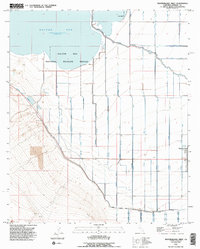
Editions of this 1992 Westmorland West Map
2 editions found
Other maps of this area

1915 · El Centro
USGS Topo · 1:125,000

1940 · Brawley
USGS Topo · 1:62,500

1940 · Kane Spring
USGS Topo · 1:62,500

1940 · Plaster City
USGS Topo · 1:62,500

1942 · El Centro
USGS Topo · 1:250,000

1943 · Brawley
USGS Topo · 1:62,500

1944 · Plaster City
USGS Topo · 1:62,500

1944 · Kane Spring
USGS Topo · 1:62,500

1944 · Calipatria
USGS Topo · 1:62,500

1954 · El Centro
USGS Topo · 1:250,000