Loading...
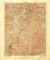
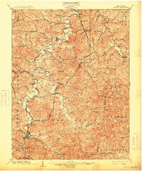
Loading map...1926 Map of Weston
USGS Topo · Published 1926About this map
Weston serves as the focal point of this Lewis County landscape, situated at the confluence of Polk Creek and the West Fork River. The 1920s topography reflects a densely settled rural economy where small communities like Jane Lew, West Milford, and Lorentz are connected by the Baltimore and Ohio railroad line. The map reveals an intricate network of local schools and churches that defined early 20th-century social life, including Sycamore Church, Broad Run Church, and the Sheets Mill School.
Find a feature on this map
113 named features on this map. Tap any name to fly to it.
Don’t see what you’re looking for? This feature index may not catch every label — zoom into the map to look around manually.
Map Details
Date Portrayed1926
Date Published1926
PublisherU.S. Geological Survey
Map TypeTopographic
Scale1:62,500
Physical Dimensions16.4 x 19.9 inches
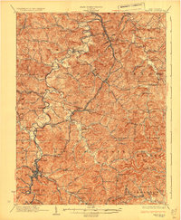
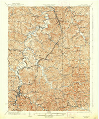
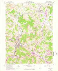
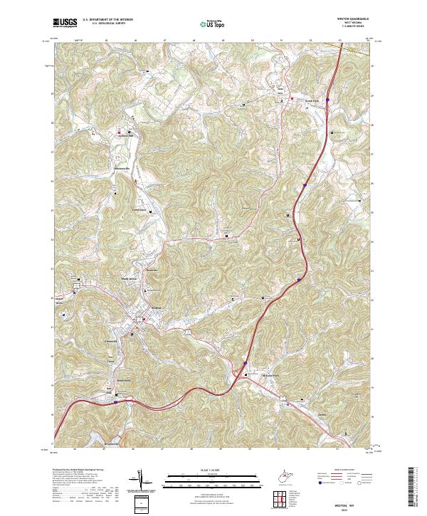
Editions of this 1926 Weston Map
4 editions found
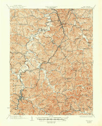
Historical Maps of Clarksburg Through Time
4 maps found
Featured Locations
Source Details
SourceU.S. Geological Survey
CopyrightPublic Domain