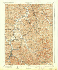
1926 Map of Weston
USGS Topo · Published 1938About this map
Weston serves as the focal point of this Central West Virginia landscape, situated at the confluence of the West Fork River and Polk Creek. In the mid-1920s, the Baltimore and Ohio railroad corridor dictates the pulse of the region, connecting prominent shipping points like Jane Lew and Mount Clare Byron Sta. This survey reveals a remarkably dense network of rural infrastructure, where nearly every hollow and ridge supports a localized center of community life.
Find a feature on this map
133 named features on this map. Tap any name to fly to it.
Don’t see what you’re looking for? This feature index may not catch every label — zoom into the map to look around manually.
Map Details
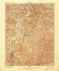
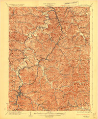
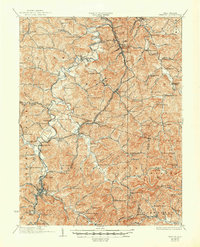
Editions of this 1926 Weston Map
4 editions found
Other maps of this area

1893 · Buckhannon
USGS Topo · 1:125,000

1893 · Sutton
USGS Topo · 1:125,000

1896 · Buckhannon
USGS Topo · 1:125,000

1897 · Buckhannon
USGS Topo · 1:125,000

1902 · Clarksburg
USGS Topo · 1:62,500

1902 · Fairmont
USGS Topo · 1:62,500

1904 · Philippi
USGS Topo · 1:62,500

1904 · Weston
USGS Topo · 1:62,500

1904 · Vadis
USGS Topo · 1:62,500

1905 · Centerpoint
USGS Topo · 1:62,500