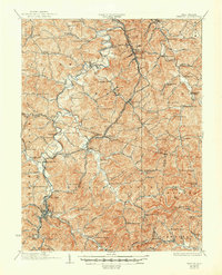
1926 Map of Weston
USGS Topo · Published 1950About this map
The West Fork Monongahela River carves a winding path through the heart of Lewis and Harrison counties, anchoring a landscape of tight ridges and narrow hollows. In this mid-1920s cultural revision, the regional importance of the Baltimore and Ohio RR is evident as it snakes alongside the river and its tributaries, connecting industrial nodes and rural depots. The presence of Jackson Mill north of Weston highlights a significant local landmark, while dozens of named schoolhouses like Mutton Town School, Sycamore Dale School, and Upper Geelick School reveal the dense, decentralized network of early 20th-century rural education. Settled communities such as Jane Lew, West Milford, and Quiet Dell sit at the junctions of ancient watercourses and developing roads, reflecting a period when small-town commerce and agriculture remained deeply tied to the valley topography.
Find a feature on this map
115 named features on this map. Tap any name to fly to it.
Don’t see what you’re looking for? This feature index may not catch every label — zoom into the map to look around manually.
Map Details
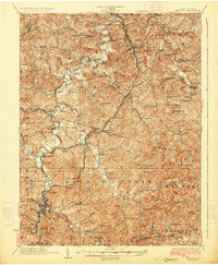
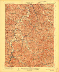
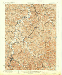
Editions of this 1926 Weston Map
4 editions found
Other maps of this area

1893 · Buckhannon
USGS Topo · 1:125,000

1893 · Sutton
USGS Topo · 1:125,000

1896 · Buckhannon
USGS Topo · 1:125,000

1897 · Buckhannon
USGS Topo · 1:125,000

1902 · Clarksburg
USGS Topo · 1:62,500

1902 · Fairmont
USGS Topo · 1:62,500

1904 · Philippi
USGS Topo · 1:62,500

1904 · Weston
USGS Topo · 1:62,500

1904 · Vadis
USGS Topo · 1:62,500

1905 · Centerpoint
USGS Topo · 1:62,500