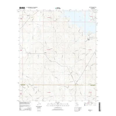
2015 Map of Weston
USGS Topo · Published 2015About this map
Weston and Walker sit within the timber-heavy landscape of North Louisiana, where the border of Jackson Parish and Winn Parish creates a distinct jurisdictional divide across the southern portion of the sheet. The terrain is defined by a dense network of creek drainages, including the prominent Caney Cr Reservoir in the northeast and the winding paths of Batiste Cr and Wolf Cr. Small, family-named roads and loops like Rosewood Loop and Garner Rd connect the scattered homesteads and small communities.
Find a feature on this map
104 named features on this map. Tap any name to fly to it.
Don’t see what you’re looking for? This feature index may not catch every label — zoom into the map to look around manually.
Map Details
Editions of this 2015 Weston Map
This is the sole edition of this map. No revisions or reprints were ever made.
Other maps of this area

1949 · Jonesboro
USGS Topo · 1:62,500

1950 · Jonesboro
USGS Topo · 1:62,500

1953 · Chatham
USGS Topo · 1:62,500

1953 · Hodge
USGS Topo · 1:62,500

1954 · Sikes
USGS Topo · 1:62,500

1955 · Shreveport
USGS Topo · 1:250,000

1956 · Shreveport
USGS Topo · 1:250,000

1982 · Chatham
USGS Topo · 1:24,000

1984 · Shreveport
USGS Topo · 1:250,000
1985 · Monroe South
USGS Topo · 1:100,000