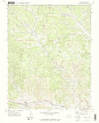
1971 Map of Weston
USGS Topo · Published 1974About this map
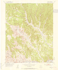
The Purgatoire River valley, also known as the Picketwire, serves as the primary corridor for settlement and industry in this Las Animas County landscape. The Colorado and Wyoming Railway follows the river's path, connecting the community of Weston with neighboring Cordova Plaza and Medina Plaza. Local education and faith are central to the map's details, evidenced by the Primero HS, Upper Burro Canyon School, and Equipula Ch.
Find a feature on this map
49 named features on this map. Tap any name to fly to it.
Don’t see what you’re looking for? This feature index may not catch every label — zoom into the map to look around manually.
Map Details
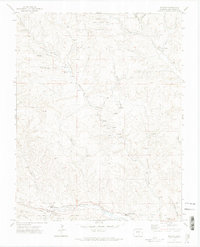
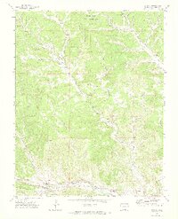
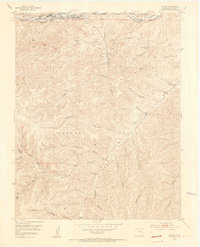
Editions of this 1971 Weston Map
3 editions found
Other maps of this area

1891 · Spanish Peaks
USGS Topo · 1:125,000

1893 · Spanish Peaks
USGS Topo · 1:125,000

1895 · Spanish Peaks
USGS Topo · 1:125,000

1897 · Spanish Peaks
USGS Topo · 1:125,000

1900 · Spanish Peaks
USGS Topo · 1:125,000
1951 · Valdez
USGS Topo · 1:24,000
1951 · Madrid
USGS Topo · 1:24,000

1954 · Trinidad
USGS Topo · 1:250,000

1955 · Trinidad
USGS Topo · 1:250,000

1958 · Trinidad
USGS Topo · 1:250,000