Loading...
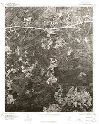
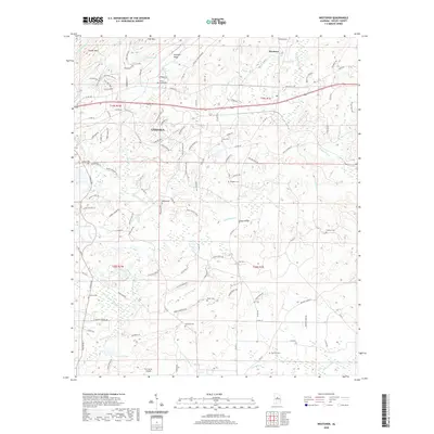
Loading map...1959 Map of Westover
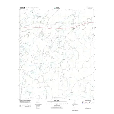
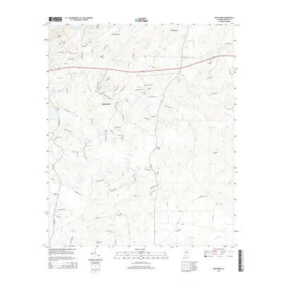
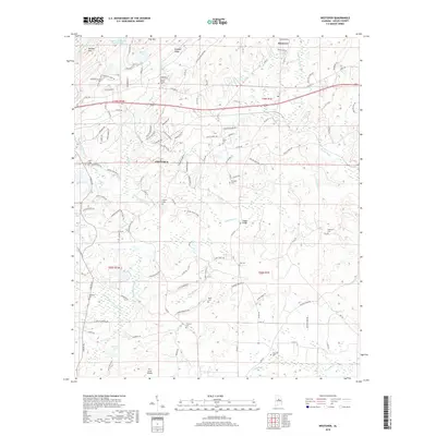
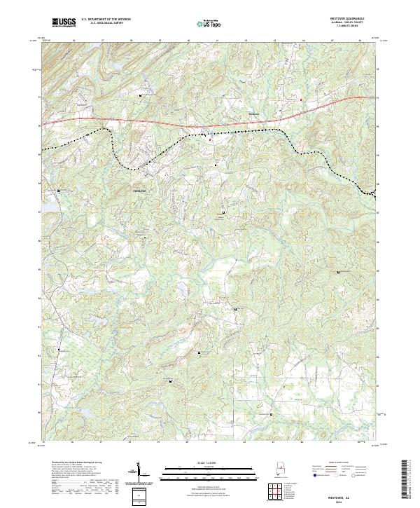
USGS Topo · Published 1978About this map
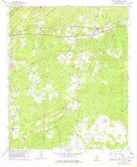
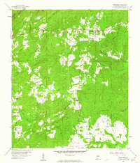
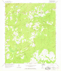
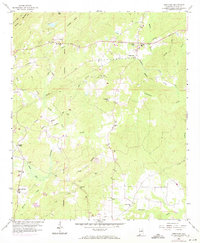
Westover stands as a central settlement at the intersection of the Seaboard Coast Line and the Florida Short Route in this Shelby County landscape. The mapping reflects a rural community deeply connected by family and faith, evidenced by the high density of country churches and cemeteries. Landmarks such as Mt Signal Ch and New Bethesby Ch appear alongside numerous family-named burial sites like Quinn Cem and Hubbard Cem.
Find a feature on this map
44 named features on this map. Tap any name to fly to it.
Don’t see what you’re looking for? This feature index may not catch every label — zoom into the map to look around manually.
Map Details
Date Portrayed1959
Date Published1978
PublisherU.S. Geological Survey
Map TypeTopographic
Scale1:24,000
Physical Dimensions22 x 26.7 inches
Editions of this 1959 Westover Map
4 editions found
Historical Maps of Chelsea Through Time
7 maps found
Featured Locations
Source Details
SourceU.S. Geological Survey
CopyrightPublic Domain