
1966 Map of Westover SW
USGS Topo · Published 1968About this map
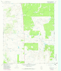
The Travis Oil Field dominates this central Texas landscape, illustrating the industrial footprint of the petroleum industry during the mid-1960s. Scattered throughout the terrain are numerous oil wells and a significant drill hole, connected by a network of infrastructure including a prominent Pipeline that cuts across the ranchland. This area, surveyed just before 1966, shows a transition from purely agricultural use to intensive resource extraction.
Find a feature on this map
11 named features on this map. Tap any name to fly to it.
Don’t see what you’re looking for? This feature index may not catch every label — zoom into the map to look around manually.
Map Details
Editions of this 1966 Westover SW Map
2 editions found
Other maps of this area

1954 · Wichita Falls
USGS Topo · 1:250,000

1958 · Wichita Falls
USGS Topo · 1:250,000

1962 · Antelope Creek SE
USGS Topo · 1:24,000

1962 · Antelope Creek NE
USGS Topo · 1:24,000

1965 · Throckmorton NE
USGS Topo · 1:24,000

1966 · Westover SE
USGS Topo · 1:24,000

1966 · Rock Canyon
USGS Topo · 1:24,000

1966 · Tonk Creek
USGS Topo · 1:24,000
1966 · Throckmorton
USGS Topo · 1:24,000
1966 · Westover
USGS Topo · 1:24,000