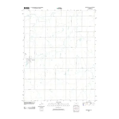
2009 Map of Westphalia
USGS Topo · Published 2009About this map
Westphalia anchors this eastern Kansas landscape, situated in a region defined by its deliberate grid of section-line roads and winding riparian corridors. The town plan is clearly visible, with Saint Teresa Cemetery located just to the northwest along Barton Rd. The surrounding terrain is drained by a network of waterways including Pottawatomie Creek in the north and the meandering courses of Thomas Creek, Cedar Creek, and Indian Creek to the south. This 2009 survey illustrates a classic Midwestern agricultural pattern where named roads such as Arkansas Rd, California Rd, and Georgia Rd delineate a landscape of large-scale farming and sparse rural residential sites. The interplay between the rigid orthogonal road network and the organic paths of Cherry Creek and Fish Creek highlights the local drainage challenges managed by generations of land owners.
Find a feature on this map
32 named features on this map. Tap any name to fly to it.
Don’t see what you’re looking for? This feature index may not catch every label — zoom into the map to look around manually.
Map Details
Editions of this 2009 Westphalia Map
This is the sole edition of this map. No revisions or reprints were ever made.
Other maps of this area

1885 · Burlington
USGS Topo · 1:125,000

1885 · Garnett
USGS Topo · 1:125,000

1894 · Garnett
USGS Topo · 1:125,000

1894 · Burlington
USGS Topo · 1:125,000

1947 · Lawrence
USGS Topo · 1:250,000

1950 · Lawrence
USGS Topo · 1:250,000

1956 · Lawrence
USGS Topo · 1:250,000

1961 · Lawrence
USGS Topo · 1:250,000
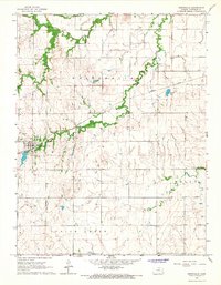
1966 · Westphalia
USGS Topo · 1:24,000
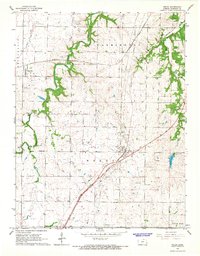
1966 · Welda
USGS Topo · 1:24,000