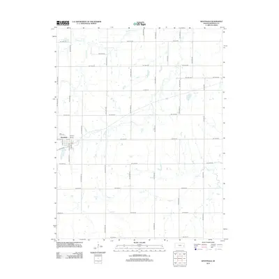
2012 Map of Westphalia
USGS Topo · Published 2012About this map
Westphalia stands at the center of this rural Anderson County landscape, defined by a grid of agricultural section roads and a network of winding waterways. The town center is marked by several named streets including Liberty St, and is served by a local Po. To the northwest of the village, Saint Teresa Cem provides a point of genealogical interest for local families.
Find a feature on this map
45 named features on this map. Tap any name to fly to it.
Don’t see what you’re looking for? This feature index may not catch every label — zoom into the map to look around manually.
Map Details
Editions of this 2012 Westphalia Map
This is the sole edition of this map. No revisions or reprints were ever made.
Other maps of this area

1885 · Burlington
USGS Topo · 1:125,000

1885 · Garnett
USGS Topo · 1:125,000

1894 · Garnett
USGS Topo · 1:125,000

1894 · Burlington
USGS Topo · 1:125,000

1947 · Lawrence
USGS Topo · 1:250,000

1950 · Lawrence
USGS Topo · 1:250,000

1956 · Lawrence
USGS Topo · 1:250,000

1961 · Lawrence
USGS Topo · 1:250,000
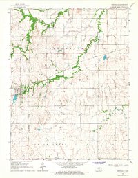
1966 · Westphalia
USGS Topo · 1:24,000
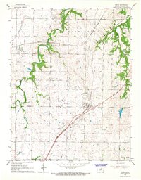
1966 · Welda
USGS Topo · 1:24,000