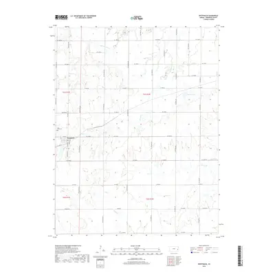
2018 Map of Westphalia
USGS Topo · Published 2018About this map
Westphalia anchors the landscape of Anderson County in this 2018 survey, appearing as a compact grid surrounded by the sectioned agricultural lands of the Kansas prairie. The town's historical foundations are evidenced by the presence of Saint Teresa Cem on its western outskirts, while the broader topography is defined by the dendritic drainage patterns of several local waterways. Streams such as Pottawatomie Cr, Thomas Cr, and Cherry Cr carve subtle valleys through the terrain, illustrating the natural drainage of the region toward larger basins. To the east, Spencer Lake provides a notable water feature amidst the rolling fields. The map documents a meticulously surveyed environment where rural road networks follow the precise cardinal lines of the Public Land Survey System, a hallmark of the midwestern township and range structure.
Find a feature on this map
8 named features on this map. Tap any name to fly to it.
Don’t see what you’re looking for? This feature index may not catch every label — zoom into the map to look around manually.
Map Details
Editions of this 2018 Westphalia Map
This is the sole edition of this map. No revisions or reprints were ever made.
Other maps of this area

1885 · Burlington
USGS Topo · 1:125,000

1885 · Garnett
USGS Topo · 1:125,000

1894 · Garnett
USGS Topo · 1:125,000

1894 · Burlington
USGS Topo · 1:125,000

1947 · Lawrence
USGS Topo · 1:250,000

1950 · Lawrence
USGS Topo · 1:250,000

1956 · Lawrence
USGS Topo · 1:250,000

1961 · Lawrence
USGS Topo · 1:250,000
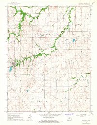
1966 · Westphalia
USGS Topo · 1:24,000
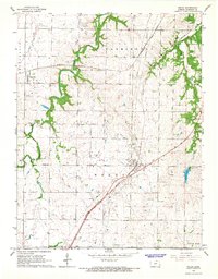
1966 · Welda
USGS Topo · 1:24,000