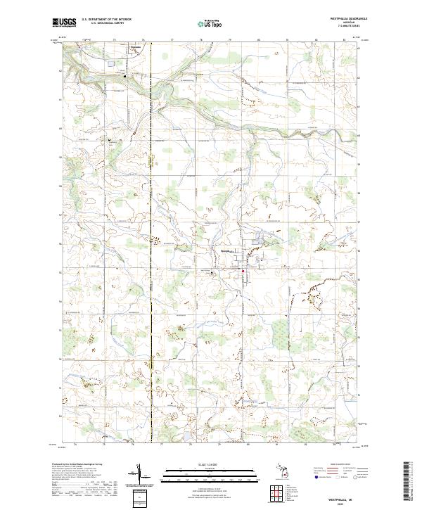
2023 Map of Westphalia
USGS Topo · Published 2023About this map
Westphalia and Pewamo anchor this agricultural landscape in Clinton and Ionia Counties, where the land is defined by a dense network of water management features. The transition between the two counties is marked by the Ionia Co Clinton Co border, running north-south through a terrain carved by Stony Creek and numerous agricultural drains. This 2023 survey illustrates how modern parcel management relies on an intricate system of named waterways like the Kloeckner and Fuller Creek and Thome and Wieber Drain to support the surrounding farmsteads. For those exploring local genealogy, the map identifies several significant burial sites, including Saint Marys Cem in the heart of Westphalia and Mount Calvary Cem further north. The rectilinear grid of roads, such as W Townsend Rd and S Spaulding Rd, provides a clear view of the rural township structure that has persisted in this region for generations.
Find a feature on this map
59 named features on this map. Tap any name to fly to it.
Don’t see what you’re looking for? This feature index may not catch every label — zoom into the map to look around manually.
Map Details
Editions of this 2023 Westphalia Map
This is the sole edition of this map. No revisions or reprints were ever made.
Other maps of this area

1918 · Perrinton
USGS Topo · 1:62,500

1927 · De Witt
USGS Topo · 1:62,500

1943 · Perrinton
USGS Topo · 1:62,500

1945 · Portland
USGS Topo · 1:62,500

1954 · Midland
USGS Topo · 1:250,000

1958 · Midland
USGS Topo · 1:250,000

1958 · Grand Rapids
USGS Topo · 1:250,000

1959 · Midland
USGS Topo · 1:250,000

1961 · Grand Rapids
USGS Topo · 1:250,000

1962 · Grand Rapids
USGS Topo · 1:250,000