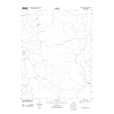
2012 Map of Westphalia East
USGS Topo · Published 2012About this map
Westphalia and Rich Fountain anchor this portion of Osage County, where the Maries River winds through a landscape defined by significant drainage networks and elevated terrain. The river's path is marked by prominent landmarks such as Grapevine Hill and the deep incision of Brush Creek Hollow. To the east, Pea Ridge stands above a complex system of named tributaries including Indian Creek, Bear Creek, and Loose Creek.
Find a feature on this map
42 named features on this map. Tap any name to fly to it.
Don’t see what you’re looking for? This feature index may not catch every label — zoom into the map to look around manually.
Map Details
Editions of this 2012 Westphalia East Map
This is the sole edition of this map. No revisions or reprints were ever made.
Other maps of this area

1886 · Jefferson City
USGS Topo · 1:125,000

1888 · Tuscumbia
USGS Topo · 1:125,000

1890 · Fulton
USGS Topo · 1:125,000

1894 · Tuscumbia
USGS Topo · 1:125,000

1894 · Jefferson City
USGS Topo · 1:125,000

1934 · Linn
USGS Topo · 1:48,000

1939 · Jefferson City
USGS Topo · 1:62,500

1942 · Jefferson City
USGS Topo · 1:62,500

1942 · Linn
USGS Topo · 1:62,500

1945 · Mokane
USGS Topo · 1:62,500