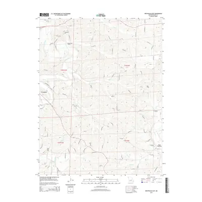
2015 Map of Westphalia East
USGS Topo · Published 2015About this map
Westphalia and Rich Fountain anchor this section of Osage County, where the Maries River and its numerous tributaries have carved a landscape of high ridges and deep hollows. The settlement pattern follows these natural contours, with roads like Old Boone Trl and Spring Branch Ln winding through the terrain. Distinctive landmarks such as Anvil Rock Arch and Grapevine Hill rise above the valleys, while the Brush Creek Hollow provides a notable example of the area's drainage systems.
Find a feature on this map
108 named features on this map. Tap any name to fly to it.
Don’t see what you’re looking for? This feature index may not catch every label — zoom into the map to look around manually.
Map Details
Editions of this 2015 Westphalia East Map
This is the sole edition of this map. No revisions or reprints were ever made.
Other maps of this area

1886 · Jefferson City
USGS Topo · 1:125,000

1888 · Tuscumbia
USGS Topo · 1:125,000

1890 · Fulton
USGS Topo · 1:125,000

1894 · Tuscumbia
USGS Topo · 1:125,000

1894 · Jefferson City
USGS Topo · 1:125,000

1934 · Linn
USGS Topo · 1:48,000

1939 · Jefferson City
USGS Topo · 1:62,500

1942 · Jefferson City
USGS Topo · 1:62,500

1942 · Linn
USGS Topo · 1:62,500

1945 · Mokane
USGS Topo · 1:62,500