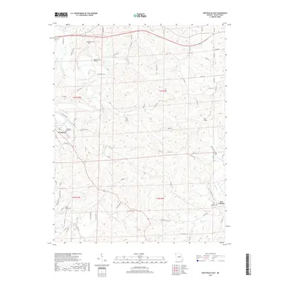
2017 Map of Westphalia East
USGS Topo · Published 2017About this map
Westphalia and Rich Fountain anchor this section of Osage County, where the meandering Maries River carves through a landscape of ridges and hollows. The settlement pattern here is deeply tied to the land's hydrology, with narrow county roads like Co Rte 601 and Co Rte 606 following the high ground of Pea Ridge or tracing the valleys of Bear Cr and Loose Cr. Local heritage is preserved in sites such as the Westphalia Catholic Cem and Sacred Heart Cem, reflecting the area's long-established communities.
Find a feature on this map
87 named features on this map. Tap any name to fly to it.
Don’t see what you’re looking for? This feature index may not catch every label — zoom into the map to look around manually.
Map Details
Editions of this 2017 Westphalia East Map
This is the sole edition of this map. No revisions or reprints were ever made.
Other maps of this area

1886 · Jefferson City
USGS Topo · 1:125,000

1888 · Tuscumbia
USGS Topo · 1:125,000

1890 · Fulton
USGS Topo · 1:125,000

1894 · Tuscumbia
USGS Topo · 1:125,000

1894 · Jefferson City
USGS Topo · 1:125,000

1934 · Linn
USGS Topo · 1:48,000

1939 · Jefferson City
USGS Topo · 1:62,500

1942 · Jefferson City
USGS Topo · 1:62,500

1942 · Linn
USGS Topo · 1:62,500

1945 · Mokane
USGS Topo · 1:62,500