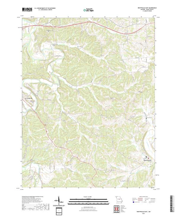
2021 Map of Westphalia East
USGS Topo · Published 2021About this map
Westphalia and Rich Fountain anchor this Missouri landscape where the Maries River and numerous tributaries like Loose Cr and Indian Cr carve into the terrain. The map reveals a deeply etched topography of ridges and hollows, notably Pea Ridge and Brush Creek Hollow, which have shaped local settlement patterns and the winding path of modern roads. Genealogists will find significant value in the documentation of several local burial sites, including the Westphalia Catholic Cem, Van Buren Cem, and the Sacred Heart Cem near the eastern edge. Unique natural landmarks like the Anvil Rock Arch stand out among the family-named roads and rural infrastructure. The area is characterized by a mix of agricultural clearings on the high ground and dense drainage networks that feed into Lake Ditch and Luecke Lake.
Find a feature on this map
81 named features on this map. Tap any name to fly to it.
Don’t see what you’re looking for? This feature index may not catch every label — zoom into the map to look around manually.
Map Details
Editions of this 2021 Westphalia East Map
This is the sole edition of this map. No revisions or reprints were ever made.
Historical Maps of Westphalia Through Time
14 maps found
1974 Fredericksburg
Osage County, MO
1975 Loose Creek
Osage County, MO
1975 Luystown
Osage County, MO
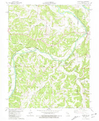
1981 Cooper Hill
Osage County, MO
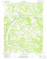
1981 Summerfield
Osage County, MO
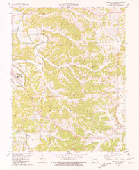
1981 Westphalia East
Osage County, MO
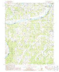
1987 Westphalia West
Osage County, MO
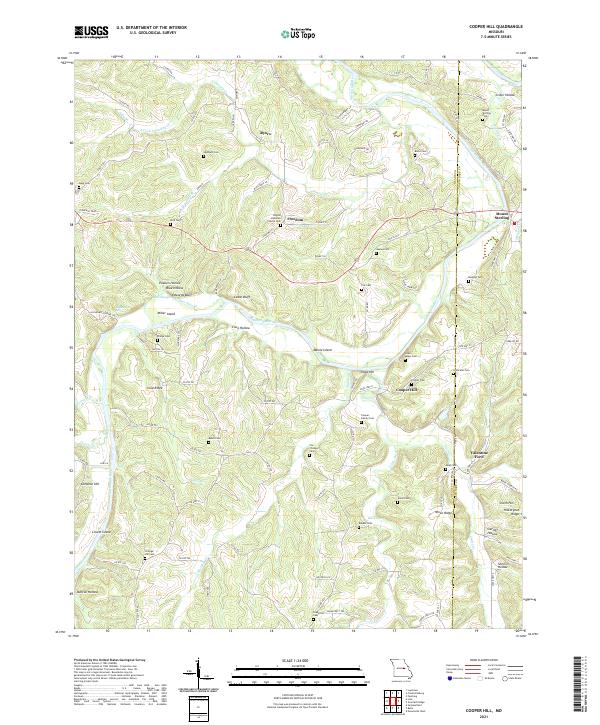
2021 Cooper Hill
Osage County, MO
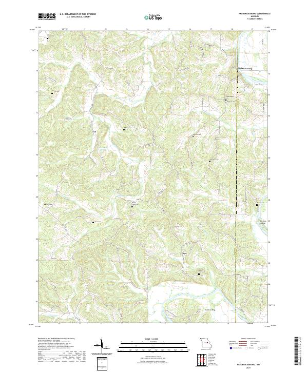
2021 Fredericksburg
Osage County, MO
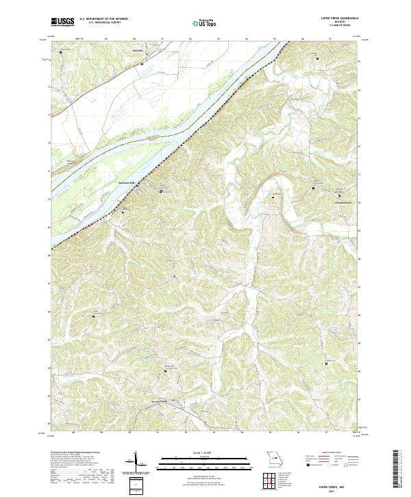
2021 Loose Creek
Osage County, MO
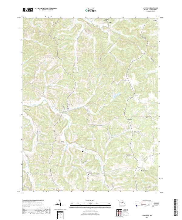
2021 Luystown
Osage County, MO
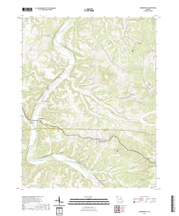
2021 Summerfield
Osage County, MO
2021 Westphalia East
Osage County, MO
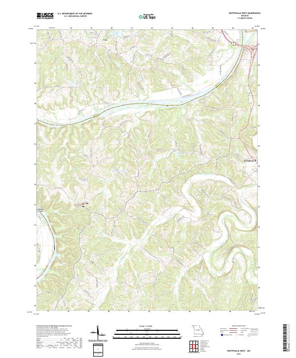
2021 Westphalia West
Osage County, MO