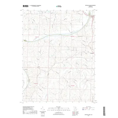
2017 Map of Westphalia West
USGS Topo · Published 2017About this map
The Osage River winds through the heart of this central Missouri landscape, marking the boundary between Cole and Osage counties. To the north, the settlement of Taos serves as a residential anchor, while the small community of Folk and the western edge of Westphalia define the southern and eastern reaches of the area. The river's influence on the local geography is evident in the presence of Bloody Island and the numerous small lakes that dot the upland terrain, including Dove Lake, Twehaus Lake, and Teds Lake.
Find a feature on this map
88 named features on this map. Tap any name to fly to it.
Don’t see what you’re looking for? This feature index may not catch every label — zoom into the map to look around manually.
Map Details
Editions of this 2017 Westphalia West Map
This is the sole edition of this map. No revisions or reprints were ever made.
Other maps of this area

1886 · Jefferson City
USGS Topo · 1:125,000

1888 · Tuscumbia
USGS Topo · 1:125,000

1890 · Fulton
USGS Topo · 1:125,000

1894 · Tuscumbia
USGS Topo · 1:125,000

1894 · Jefferson City
USGS Topo · 1:125,000

1934 · Linn
USGS Topo · 1:48,000

1939 · Jefferson City
USGS Topo · 1:24,000

1939 · Jefferson City
USGS Topo · 1:62,500

1942 · Jefferson City
USGS Topo · 1:62,500

1942 · Linn
USGS Topo · 1:62,500