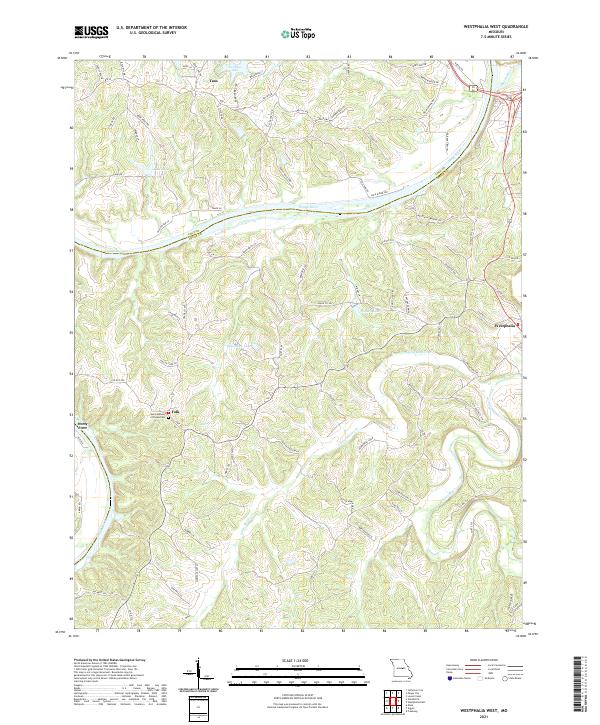
2021 Map of Westphalia West
USGS Topo · Published 2021About this map
The Osage River and Maries River define the physical and cultural landscape of this region on the border of Cole and Osage counties. The settlement of Westphalia occupies the eastern bluffs overlooking the river junction, while Taos sits to the northwest, connected by a network of rural routes like Rte M and Rte Y. The map documents a territory defined by its water features, from larger bodies like Teds Lake and Twehaus Lake to smaller basins such as Baumhoer Lake and Pinnell Lake.
Find a feature on this map
87 named features on this map. Tap any name to fly to it.
Don’t see what you’re looking for? This feature index may not catch every label — zoom into the map to look around manually.
Map Details
Editions of this 2021 Westphalia West Map
This is the sole edition of this map. No revisions or reprints were ever made.
Other maps of this area

1886 · Jefferson City
USGS Topo · 1:125,000

1888 · Tuscumbia
USGS Topo · 1:125,000

1890 · Fulton
USGS Topo · 1:125,000

1894 · Tuscumbia
USGS Topo · 1:125,000

1894 · Jefferson City
USGS Topo · 1:125,000

1934 · Linn
USGS Topo · 1:48,000

1939 · Jefferson City
USGS Topo · 1:24,000

1939 · Jefferson City
USGS Topo · 1:62,500

1942 · Jefferson City
USGS Topo · 1:62,500

1942 · Linn
USGS Topo · 1:62,500