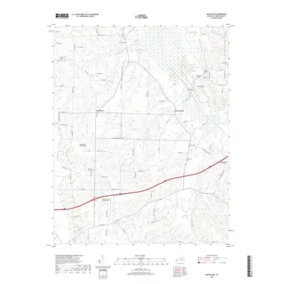
2019 Map of Westplains
USGS Topo · Published 2019About this map
Westplains, Clear Springs, and Hicksville anchor this rural Graves County landscape, which is defined by the high ground of the Tennessee Valley Divide. This topographic survey captures the intricate drainage network of the region, where numerous branches and creeks like Turkey Cr, Spring Cr, and Haskell Br flow toward the larger West Fork Clarks River and Mayfield Creek. The map provides significant genealogical value through its documentation of numerous family and church burial grounds, including the Shelton Chapel Cem, Farmer Cem, and the Old Sand Hill Cem.
Find a feature on this map
89 named features on this map. Tap any name to fly to it.
Don’t see what you’re looking for? This feature index may not catch every label — zoom into the map to look around manually.
Map Details
Editions of this 2019 Westplains Map
This is the sole edition of this map. No revisions or reprints were ever made.
Other maps of this area

1936 · Farmington
USGS Topo · 1:24,000

1936 · Melber
USGS Topo · 1:24,000

1936 · Oak Level
USGS Topo · 1:24,000

1936 · Elva
USGS Topo · 1:24,000

1936 · Symsonia
USGS Topo · 1:24,000

1936 · Benton
USGS Topo · 1:48,000

1936 · Westplains
USGS Topo · 1:24,000

1936 · Kirksey
USGS Topo · 1:24,000

1951 · Kirksey
USGS Topo · 1:24,000

1951 · Farmington
USGS Topo · 1:24,000