
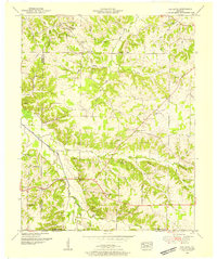
1936 Map of Westplains
USGS Topo · Published 1936About this map
The West Fork Clarks River meanders through Graves County, defining a landscape of low-lying bottoms and drainage projects managed by the Tennessee Valley Authority. This 1936 field examination reveals a rural network centered on small communities like Westplains and Clear Springs. The map is particularly dense with sites of genealogical interest, including numerous family-named landmarks such as Rickman Cem, Arnett Cem, and Chapman Cem.
Find a feature on this map
62 named features on this map. Tap any name to fly to it.
Don’t see what you’re looking for? This feature index may not catch every label — zoom into the map to look around manually.
Map Details
Editions of this 1936 Westplains Map
This is the sole edition of this map. No revisions or reprints were ever made.
Other maps of this area

1936 · Farmington
USGS Topo · 1:24,000

1936 · Melber
USGS Topo · 1:24,000

1936 · Oak Level
USGS Topo · 1:24,000

1936 · Elva
USGS Topo · 1:24,000

1936 · Symsonia
USGS Topo · 1:24,000

1936 · Benton
USGS Topo · 1:48,000

1936 · Kirksey
USGS Topo · 1:24,000

1951 · Kirksey
USGS Topo · 1:24,000

1951 · Farmington
USGS Topo · 1:24,000
1951 · Oak Level
USGS Topo · 1:24,000