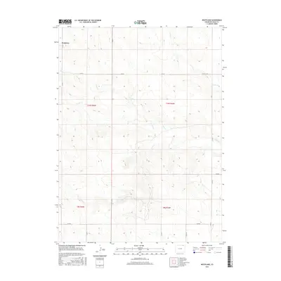
2016 Map of Westplains
USGS Topo · Published 2016About this map
Westplains occupies the northwestern corner of this High Plains landscape in Logan County, characterized by a complex network of ephemeral drainage systems. The terrain is defined by the convergence of several named waterways, including Cedar Cr and Twomile Cr, which weave through the sectioned agricultural land. The eastern portion of the map is marked by the winding course of George Cr, while Brush Cr cuts through the central sections.
Find a feature on this map
18 named features on this map. Tap any name to fly to it.
Don’t see what you’re looking for? This feature index may not catch every label — zoom into the map to look around manually.
Map Details
Editions of this 2016 Westplains Map
This is the sole edition of this map. No revisions or reprints were ever made.
Other maps of this area

1951 · Wild Horse Lake
USGS Topo · 1:24,000

1951 · Atwood NE
USGS Topo · 1:24,000

1954 · Sterling
USGS Topo · 1:250,000

1958 · Sterling
USGS Topo · 1:250,000

1977 · Dipper Spring
USGS Topo · 1:24,000

1977 · Stoneham NE
USGS Topo · 1:24,000

1977 · Avalo SE
USGS Topo · 1:24,000
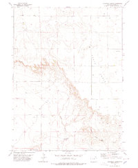
1978 · Kirchnavy Butte
USGS Topo · 1:24,000
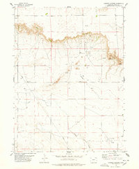
1978 · Chimney Canyons
USGS Topo · 1:24,000
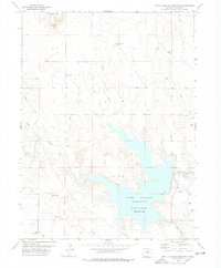
1978 · North Sterling Reservoir
USGS Topo · 1:24,000