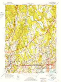
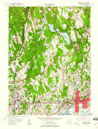
1951 Map of Westport
USGS Topo · Published 1952About this map
The Saugatuck River and Mill River basins define this coastal Fairfield County landscape in the early 1950s, a period marked by established suburban growth and the preservation of large watershed tracts. The expansive Hemlock Reservoir and Saugatuck Reservoir dominate the northern terrain, illustrating the region's role in supporting the water needs of a burgeoning population. Traditional settlements like Greenfield Hill and Lyons Plain remain distinct amidst the rolling hills, while the southern shoreline at Southport and Fairfield shows denser development concentrated along the Boston Post Road.
Find a feature on this map
76 named features on this map. Tap any name to fly to it.
Don’t see what you’re looking for? This feature index may not catch every label — zoom into the map to look around manually.
Map Details
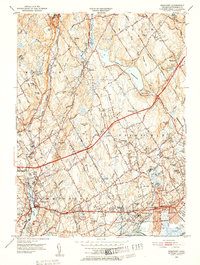
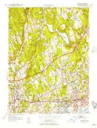
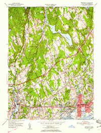
Editions of this 1951 Westport Map
5 editions found
Other maps of this area

1889 · Derby
USGS Topo · 1:62,500

1891 · Bridgeport
USGS Topo · 1:62,500

1891 · Derby
USGS Topo · 1:62,500

1892 · Danbury
USGS Topo · 1:62,500

1892 · Norwalk
USGS Topo · 1:62,500

1893 · Bridgeport
USGS Topo · 1:62,500

1893 · Norwalk
USGS Topo · 1:62,500

1893 · Derby
USGS Topo · 1:62,500

1915 · Danbury
USGS Topo · 1:62,500

1920 · Bridgeport
USGS Topo · 1:62,500