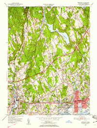
1951 Map of Westport
USGS Topo · Published 1959About this map
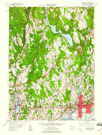
The Saugatuck River and Mill River corridors define this coastal Connecticut landscape, showing the suburban transition of the early 1950s. The dense settlement of Fairfield, Westport, and Southport hugs the shoreline of Long Island Sound, while the interior remains a mix of wooded hills and expanding residential tracts. The Merritt Parkway cuts a bold line across the center of the sheet, illustrating the region's increasing connectivity and growth.
Find a feature on this map
78 named features on this map. Tap any name to fly to it.
Don’t see what you’re looking for? This feature index may not catch every label — zoom into the map to look around manually.
Map Details
Editions of this 1951 Westport Map
5 editions found
Other maps of this area

1889 · Derby
USGS Topo · 1:62,500

1891 · Bridgeport
USGS Topo · 1:62,500

1891 · Derby
USGS Topo · 1:62,500

1892 · Danbury
USGS Topo · 1:62,500

1892 · Norwalk
USGS Topo · 1:62,500

1893 · Bridgeport
USGS Topo · 1:62,500

1893 · Norwalk
USGS Topo · 1:62,500

1893 · Derby
USGS Topo · 1:62,500

1915 · Danbury
USGS Topo · 1:62,500

1920 · Bridgeport
USGS Topo · 1:62,500