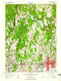
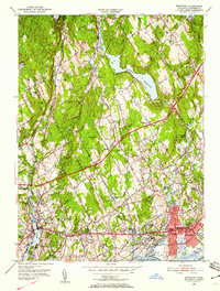
1951 Map of Westport
USGS Topo · Published 1960About this map
Greenfield Hill and the surrounding Fairfield landscape showcase a post-war transition as mid-century infrastructure meets long-established New England settlements. The lower coastline is dominated by the dense corridors of the New York New Haven and Hartford RR and the Connecticut Turnpike, which bypass the historic centers of Southport and Fairfield. Inland, the terrain is defined by a series of significant water works, including the Hemlock Reservoir, Saugatuck Reservoir, and Aspetuck Reservoir, reflecting the region's managed utility expansion. Local history is preserved in the numerous family-named landmarks and institutions, such as Good Hill Sch and the Old West Cem. The map illustrates the shift from a fragmented agricultural and mill-driven economy, evidenced by sites like Perry Millpond, toward the suburban residential patterns emerging along the Merritt Parkway.
Find a feature on this map
73 named features on this map. Tap any name to fly to it.
Don’t see what you’re looking for? This feature index may not catch every label — zoom into the map to look around manually.
Map Details
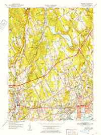
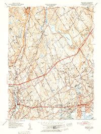
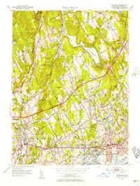
Editions of this 1951 Westport Map
5 editions found
Other maps of this area

1889 · Derby
USGS Topo · 1:62,500

1891 · Bridgeport
USGS Topo · 1:62,500

1891 · Derby
USGS Topo · 1:62,500

1892 · Danbury
USGS Topo · 1:62,500

1892 · Norwalk
USGS Topo · 1:62,500

1893 · Bridgeport
USGS Topo · 1:62,500

1893 · Norwalk
USGS Topo · 1:62,500

1893 · Derby
USGS Topo · 1:62,500

1915 · Danbury
USGS Topo · 1:62,500

1920 · Bridgeport
USGS Topo · 1:62,500