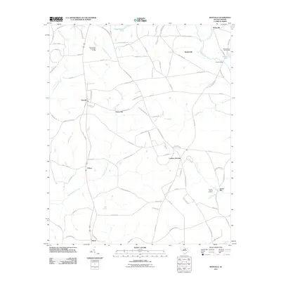
2011 Map of Westville
USGS Topo · Published 2011About this map
The agrarian landscape of Kershaw County in 2011 is defined by its deep-seated mill history and rural settlement patterns. The Little Lynches River and its tributaries, including Grannies Quarter Creek and Beaverdam Creek, served as the foundation for local industry, evidenced by the numerous mill sites dotting the drainage basins. Notable landmarks such as Barfield Mill, Gaston Mill, Kirkley Mill, and Jordan Mill indicate a heritage of water-powered processing that shaped the development of the region.
Find a feature on this map
88 named features on this map. Tap any name to fly to it.
Don’t see what you’re looking for? This feature index may not catch every label — zoom into the map to look around manually.
Map Details
Editions of this 2011 Westville Map
This is the sole edition of this map. No revisions or reprints were ever made.
Other maps of this area

1935 · Camden
USGS Topo · 1:48,000

1938 · Camden
USGS Topo · 1:62,500

1941 · Spartanburg
USGS Topo · 1:250,000

1942 · Camden
USGS Topo · 1:125,000

1953 · Spartanburg
USGS Topo · 1:250,000

1960 · Spartanburg
USGS Topo · 1:250,000

1963 · Spartanburg
USGS Topo · 1:250,000

1964 · Spartanburg
USGS Topo · 1:250,000

1967 · Mount Pisgah
USGS Topo · 1:24,000

1968 · Heath Springs
USGS Topo · 1:24,000