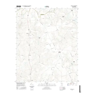
2017 Map of Westville
USGS Topo · Published 2017About this map
Westville and the surrounding Kershaw County countryside are defined by a network of rural routes and historic water-powered sites. This landscape, situated along the border with Lancaster County, centers on the north-south corridor of 521 601 which connects the primary settlements of Clyburn and Dekalb. The area is notably dense with milling history, featuring several named locations such as Barfield Mill, Gaston Mill, and Jordan Mill situated along the many creeks feeding into the Little Lynches River. These features, along with Houghs Bridge and the Lockhart Oil Field, suggest a local economy traditionally tied to the land's resources and small-scale industry. The map provides significant detail for genealogists, including the location of the McLeans Branch Cem and family-named landmarks like Lindenziwegs Pond and Bowers Pond.
Find a feature on this map
85 named features on this map. Tap any name to fly to it.
Don’t see what you’re looking for? This feature index may not catch every label — zoom into the map to look around manually.
Map Details
Editions of this 2017 Westville Map
This is the sole edition of this map. No revisions or reprints were ever made.
Other maps of this area

1935 · Camden
USGS Topo · 1:48,000

1938 · Camden
USGS Topo · 1:62,500

1941 · Spartanburg
USGS Topo · 1:250,000

1942 · Camden
USGS Topo · 1:125,000

1953 · Spartanburg
USGS Topo · 1:250,000

1960 · Spartanburg
USGS Topo · 1:250,000

1963 · Spartanburg
USGS Topo · 1:250,000

1964 · Spartanburg
USGS Topo · 1:250,000

1967 · Mount Pisgah
USGS Topo · 1:24,000

1968 · Heath Springs
USGS Topo · 1:24,000