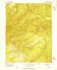
1952 Map of Westville
USGS Topo · Published 1954About this map
Tahoe National Forest landscape in the early 1950s is defined by a dense network of mining operations and remote mountain settlements throughout Placer County. The terrain is dominated by the North Fork of North Fork American River and the high elevations of Sawtooth Ridge, where the Southern Pacific railroad follows the contours near Blue Canyon. The map reveals the intricate subsurface infrastructure of the era, marking numerous tunnels such as the Mountain Gate Tunnel, Jarvis Tunnel, and Golden River Tunnel.
Find a feature on this map
59 named features on this map. Tap any name to fly to it.
Don’t see what you’re looking for? This feature index may not catch every label — zoom into the map to look around manually.
Map Details
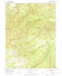
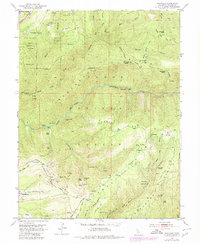
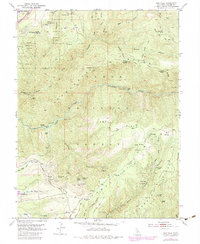
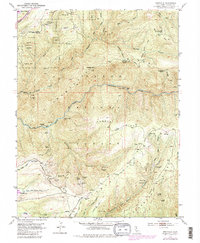
Editions of this 1952 Westville Map
8 editions found
Other maps of this area

1891 · Colfax
USGS Topo · 1:125,000

1892 · Colfax
USGS Topo · 1:125,000

1894 · Colfax
USGS Topo · 1:125,000

1898 · Colfax
USGS Topo · 1:125,000

1900 · Colfax
USGS Topo · 1:125,000

1902 · Colfax
USGS Topo · 1:125,000

1938 · Colfax
USGS Topo · 1:125,000
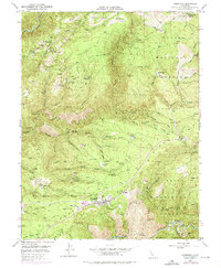
1948 · Foresthill
USGS Topo · 1:24,000
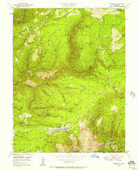
1949 · Foresthill
USGS Topo · 1:24,000
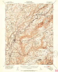
1950 · Colfax
USGS Topo · 1:62,500