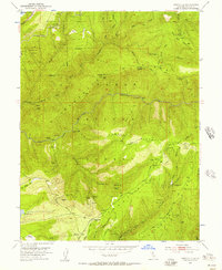
1952 Map of Westville
USGS Topo · Published 1957About this map
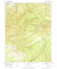
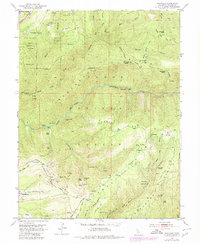
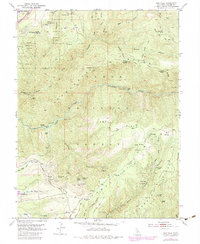
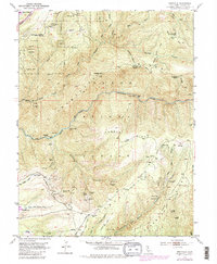
Mining operations and industrial infrastructure define this high-country landscape within the Tahoe National Forest during the mid-twentieth century. The deep canyons of the North Fork American River are marked by numerous historic claims, including the Rawhide Mine, Blackhawk Mine, and the American Eagle Mine. An extensive network of tunnels, such as the Golden River Tunnel and Cape Horn Tunnel, suggests the scale of underground exploration along the Forest Hill Divide.
Find a feature on this map
84 named features on this map. Tap any name to fly to it.
Don’t see what you’re looking for? This feature index may not catch every label — zoom into the map to look around manually.
Map Details
Editions of this 1952 Westville Map
8 editions found
Other maps of this area

1891 · Colfax
USGS Topo · 1:125,000

1892 · Colfax
USGS Topo · 1:125,000

1894 · Colfax
USGS Topo · 1:125,000

1898 · Colfax
USGS Topo · 1:125,000

1900 · Colfax
USGS Topo · 1:125,000

1902 · Colfax
USGS Topo · 1:125,000

1938 · Colfax
USGS Topo · 1:125,000
1948 · Foresthill
USGS Topo · 1:24,000
1949 · Foresthill
USGS Topo · 1:24,000
1950 · Colfax
USGS Topo · 1:62,500