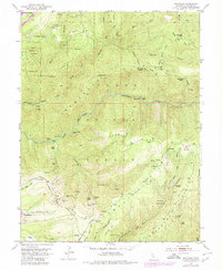
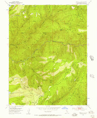
1952 Map of Westville
USGS Topo · Published 1980About this map
Tahoe National Forest terrain dominates this mid-century survey of Placer County, where the gold and timber legacy of the Sierra Nevada is etched across steep canyons. The landscape is defined by the deep incisions of the North Fork American River and its tributaries, revealing an intensive history of resource extraction. Dozens of adits and tunnels are documented, including the Herman Mine, Rawhide Mine, and Eureka Tunnel. The map captures the infrastructure of the era's mining and water management, featuring the Humbug Ditch and Wheeler Ditch winding along the ridgelines. Early settlements and homesteads like Westville, Dorer Ranch, and the Forks House (Site) provide critical points of reference for genealogists. The presence of the Maxwell Sawmill (Abandoned) and numerous hydraulic mining sites like Humbug Bar illustrates the industrial transition of the Forest Hill Divide during this period.
Find a feature on this map
67 named features on this map. Tap any name to fly to it.
Don’t see what you’re looking for? This feature index may not catch every label — zoom into the map to look around manually.
Map Details
Editions of this 1952 Westville Map
8 editions found
Other maps of this area

1891 · Colfax
USGS Topo · 1:125,000

1892 · Colfax
USGS Topo · 1:125,000

1894 · Colfax
USGS Topo · 1:125,000

1898 · Colfax
USGS Topo · 1:125,000

1900 · Colfax
USGS Topo · 1:125,000

1902 · Colfax
USGS Topo · 1:125,000

1938 · Colfax
USGS Topo · 1:125,000
1948 · Foresthill
USGS Topo · 1:24,000
1949 · Foresthill
USGS Topo · 1:24,000
1950 · Colfax
USGS Topo · 1:62,500