
1971 Map of Westway
USGS Topo · Published 1973About this map
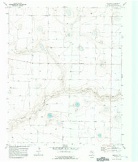
Tierra Blanca Creek carves a distinct path through this High Plains landscape, where the agricultural economy of the early 1970s is evidenced by numerous water sources marked simply as Well. The small settlement of Westway stands near the center of the survey, serving as a primary point of reference in an area otherwise defined by large-scale land divisions and sparse development. A legacy of the region's infrastructure is visible in the clusters of Gravel Pits and a singular Gravel Pit located along the creek's banks, indicating local extraction for road building and construction.
Find a feature on this map
9 named features on this map. Tap any name to fly to it.
Don’t see what you’re looking for? This feature index may not catch every label — zoom into the map to look around manually.
Map Details
Editions of this 1971 Westway Map
2 editions found
Other maps of this area

1954 · Clovis
USGS Topo · 1:250,000

1958 · Clovis
USGS Topo · 1:250,000

1966 · Friona
USGS Topo · 1:24,000

1966 · Easter
USGS Topo · 1:24,000

1966 · Summerfield
USGS Topo · 1:24,000

1970 · Chalk Hill
USGS Topo · 1:24,000

1970 · Hereford
USGS Topo · 1:24,000
1971 · Milo Center
USGS Topo · 1:24,000
1971 · Westway NW
USGS Topo · 1:24,000
1971 · Westway NE
USGS Topo · 1:24,000