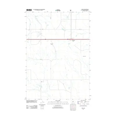
2012 Map of Weta
USGS Topo · Published 2012About this map
Weta and the surrounding rangelands of Jackson County define this western South Dakota landscape during the early 21st century. The map illustrates a region structured by sparse ranching outposts and strategic mountain crossings, most notably Chamberlain Pass and Hughes Pass. Water management is central to life in this semi-arid environment, as evidenced by the distribution of drainages like Little Buffalo Cr and Franklin Crk, alongside man-made features such as Boocke Reservoir.
Find a feature on this map
16 named features on this map. Tap any name to fly to it.
Don’t see what you’re looking for? This feature index may not catch every label — zoom into the map to look around manually.
Map Details
Editions of this 2012 Weta Map
This is the sole edition of this map. No revisions or reprints were ever made.
Other maps of this area

1950 · Weta
USGS Topo · 1:24,000

1951 · Wanblee NW
USGS Topo · 1:24,000

1951 · School Section Butte
USGS Topo · 1:24,000

1951 · Kadoka
USGS Topo · 1:24,000

1951 · Wanblee NE
USGS Topo · 1:24,000

1953 · Philip Junction
USGS Topo · 1:24,000

1954 · Kadoka NE
USGS Topo · 1:24,000

1955 · Martin
USGS Topo · 1:250,000

1958 · Martin
USGS Topo · 1:250,000

1961 · Cottonwood NE
USGS Topo · 1:24,000