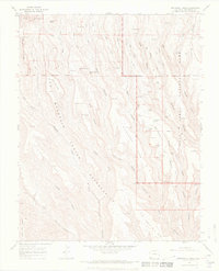
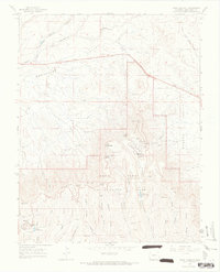
1966 Map of Wetherill Mesa
USGS Topo · Published 1969About this map
Mesa Verde National Park is documented here during a period of active mid-century topographic survey, revealing the high density of archaeological sites across Wetherill Mesa. The landscape is defined by its dramatic series of southern-reaching fingers including Long Mesa and Wildhorse Mesa, separated by deep incisions like Rock Canyon and Horse Canyon. A complex network of pack trails and established trails connects numerous ancient dwellings tucked into the cliffs, providing a clear spatial record of the park’s cultural resources before modern infrastructure expanded.
Find a feature on this map
49 named features on this map. Tap any name to fly to it.
Don’t see what you’re looking for? This feature index may not catch every label — zoom into the map to look around manually.
Map Details
Editions of this 1966 Wetherill Mesa Map
4 editions found
Other maps of this area

1912 · Soda Canyon
USGS Topo · 1:62,500

1915 · Soda Canyon
USGS Topo · 1:62,500

1956 · Cortez
USGS Topo · 1:250,000

1958 · Cortez SW
USGS Topo · 1:24,000

1958 · Cortez
USGS Topo · 1:250,000

1959 · Cortez
USGS Topo · 1:250,000

1962 · Cortez
USGS Topo · 1:250,000

1965 · Cortez
USGS Topo · 1:24,000
1965 · Point Lookout
USGS Topo · 1:24,000

1966 · Cortez
USGS Topo · 1:250,000