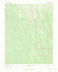
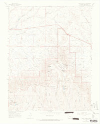
1966 Map of Wetherill Mesa
USGS Topo · Published 1969About this map
Mesa Verde National Park and the adjacent Ute Mountain Indian Reservation define this high-altitude landscape in Montezuma County. This 1966 field-checked survey reveals an intricate network of dwellings and landmarks, many tucked into the vertical geography of Wetherill Mesa and Chapin Mesa. Archaeological and architectural sites are identified by name, including the prominent Mug House, Step House, and the Navajo Watch Tower. The terrain is characterized by a series of long, finger-like mesas separated by deep drainages like Rock Canyon and Wickup Canyon. Evidence of human activity spans eras, from the ancient Pictograph Point to more contemporary features such as the Mesa Verde Mine and Sewage Disposal Ponds. The presence of Horse Springs and Rock Springs highlights the critical importance of water sources in this arid mesa environment.
Find a feature on this map
44 named features on this map. Tap any name to fly to it.
Don’t see what you’re looking for? This feature index may not catch every label — zoom into the map to look around manually.
Map Details
Editions of this 1966 Wetherill Mesa Map
4 editions found
Other maps of this area

1912 · Soda Canyon
USGS Topo · 1:62,500

1915 · Soda Canyon
USGS Topo · 1:62,500

1956 · Cortez
USGS Topo · 1:250,000

1958 · Cortez SW
USGS Topo · 1:24,000

1958 · Cortez
USGS Topo · 1:250,000

1959 · Cortez
USGS Topo · 1:250,000

1962 · Cortez
USGS Topo · 1:250,000

1965 · Cortez
USGS Topo · 1:24,000
1965 · Point Lookout
USGS Topo · 1:24,000

1966 · Cortez
USGS Topo · 1:250,000