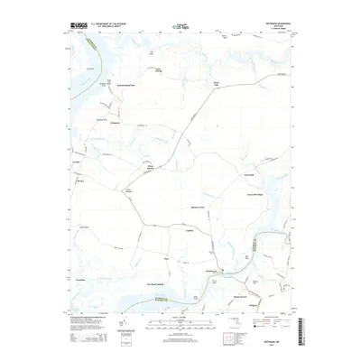
2014 Map of Wetipquin
USGS Topo · Published 2014About this map
The Wicomico River and its intricate network of tidal creeks define this coastal Maryland landscape, where the White Haven Ferry continues a long tradition of waterborne transit. Small settlements such as Wetipquin, Tyaskin, and Bivalve line the banks of the Nanticoke River, reflecting a community deeply tied to the Chesapeake's maritime economy. This 2014 survey captures a transition point in the lower Eastern Shore, where traditional landings like New Road Landing and Ferry Point remain central to the geography alongside more established villages like Mount Vernon and Whitehaven.
Find a feature on this map
93 named features on this map. Tap any name to fly to it.
Don’t see what you’re looking for? This feature index may not catch every label — zoom into the map to look around manually.
Map Details
Editions of this 2014 Wetipquin Map
This is the sole edition of this map. No revisions or reprints were ever made.
Other maps of this area

1901 · Salisbury
USGS Topo · 1:62,500

1903 · Nanticoke
USGS Topo · 1:62,500

1903 · Deal Island
USGS Topo · 1:62,500

1942 · Deal Island
USGS Topo · 1:24,000

1942 · Monie
USGS Topo · 1:24,000

1942 · Wetipquin
USGS Topo · 1:24,000

1942 · Princess Anne
USGS Topo · 1:24,000

1942 · Mardela Springs
USGS Topo · 1:24,000

1942 · Eden
USGS Topo · 1:24,000

1942 · Hebron
USGS Topo · 1:24,000