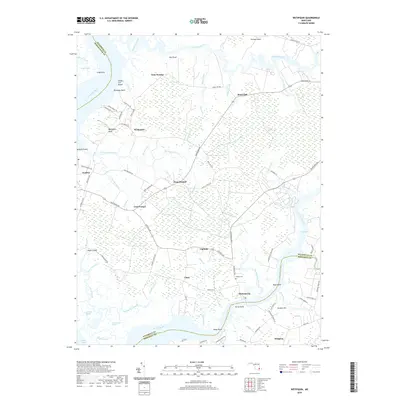
2019 Map of Wetipquin
USGS Topo · Published 2019About this map
Wetipquin and Tyaskin overlook the wide reaches of the Nanticoke River, where the landscape is defined by extensive tidal wetlands and intricate drainage systems. This 2019 survey captures the rural character of the lower Delmarva Peninsula, illustrating a network of small settlements such as Capitola, Clara, and Whitehaven connected by long country roads. The transition from the high ground of Nutters Neck to the low marshes of Gum Swamp and Poplar Hill Swamp reveals the hydrological complexity of the region, where numerous guts and creeks like Horner Gut and Peters Creek feed into larger arteries.
Find a feature on this map
89 named features on this map. Tap any name to fly to it.
Don’t see what you’re looking for? This feature index may not catch every label — zoom into the map to look around manually.
Map Details
Editions of this 2019 Wetipquin Map
This is the sole edition of this map. No revisions or reprints were ever made.
Other maps of this area

1901 · Salisbury
USGS Topo · 1:62,500

1903 · Nanticoke
USGS Topo · 1:62,500

1903 · Deal Island
USGS Topo · 1:62,500

1942 · Deal Island
USGS Topo · 1:24,000

1942 · Monie
USGS Topo · 1:24,000

1942 · Wetipquin
USGS Topo · 1:24,000

1942 · Princess Anne
USGS Topo · 1:24,000

1942 · Mardela Springs
USGS Topo · 1:24,000

1942 · Eden
USGS Topo · 1:24,000

1942 · Hebron
USGS Topo · 1:24,000