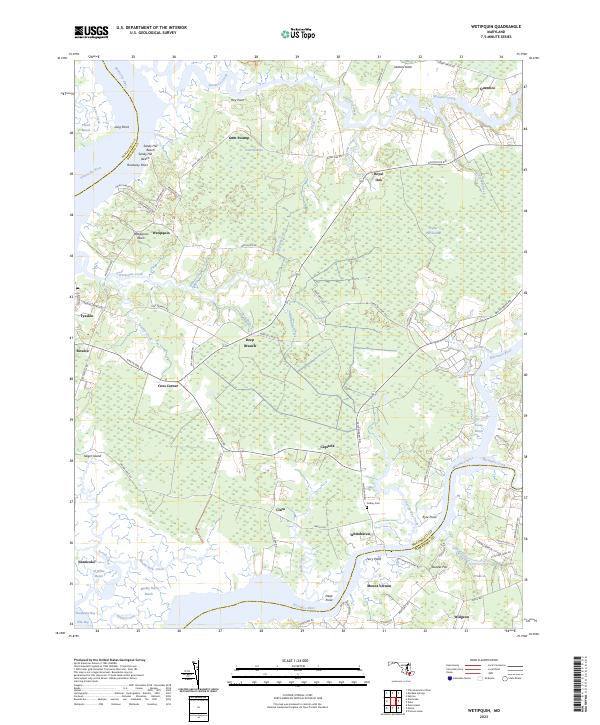
2023 Map of Wetipquin
USGS Topo · Published 2023About this map
Whitehaven stands as a primary crossing point on this section of the Wicomico River, where the Whitehaven Ferry Rd connects the river's northern bank to Mount Vernon in Somerset County. The landscape is defined by the intricate intersection of Maryland’s Eastern Shore waterways and low-lying marshlands, including Gum Swamp and Poplar Hill Swamp. These wetlands dictate the layout of small crossroads communities such as Capitola and Clara, which are linked by narrow routes like Trinity Church Rd and Clara Rd.
Find a feature on this map
90 named features on this map. Tap any name to fly to it.
Don’t see what you’re looking for? This feature index may not catch every label — zoom into the map to look around manually.
Map Details
Editions of this 2023 Wetipquin Map
This is the sole edition of this map. No revisions or reprints were ever made.
Other maps of this area

1901 · Salisbury
USGS Topo · 1:62,500

1903 · Nanticoke
USGS Topo · 1:62,500

1903 · Deal Island
USGS Topo · 1:62,500

1942 · Deal Island
USGS Topo · 1:24,000

1942 · Monie
USGS Topo · 1:24,000

1942 · Wetipquin
USGS Topo · 1:24,000

1942 · Princess Anne
USGS Topo · 1:24,000

1942 · Mardela Springs
USGS Topo · 1:24,000

1942 · Eden
USGS Topo · 1:24,000

1942 · Hebron
USGS Topo · 1:24,000