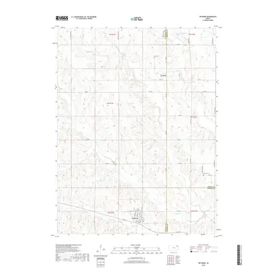
2018 Map of Wetmore
USGS Topo · Published 2018About this map
Wetmore anchors the southern portion of this landscape, where the street grid is defined by names like Minnesota St, Nebraska St, and Kansas St. This area of Northeast Kansas is characterized by a network of creeks, including the headwaters of Spring Cr and Wolfley Cr, which drain the undulating terrain between the Nemaha and Brown County borders. The map reveals a rural settlement pattern where small communities and historical burial sites like Granada Cem and Powhattan Cem are connected by a regular grid of section-line roads.
Find a feature on this map
51 named features on this map. Tap any name to fly to it.
Don’t see what you’re looking for? This feature index may not catch every label — zoom into the map to look around manually.
Map Details
Editions of this 2018 Wetmore Map
This is the sole edition of this map. No revisions or reprints were ever made.
Other maps of this area

1888 · Hiawatha
USGS Topo · 1:125,000

1894 · Hiawatha
USGS Topo · 1:125,000

1950 · Kansas City
USGS Topo · 1:250,000

1954 · Kansas City
USGS Topo · 1:250,000

1956 · Kansas City
USGS Topo · 1:250,000

1960 · Kansas City
USGS Topo · 1:250,000

1960 · Fairview
USGS Topo · 1:24,000
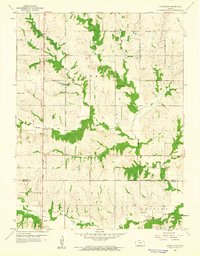
1960 · Horton NW
USGS Topo · 1:24,000
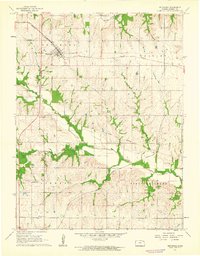
1961 · Netawaka
USGS Topo · 1:24,000
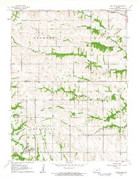
1961 · Circleville
USGS Topo · 1:24,000