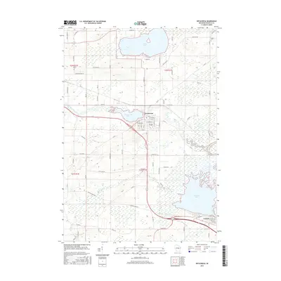
2016 Map of Weyauwega
USGS Topo · Published 2016About this map
The Waupaca River feeds into Weyauwega Lake, anchoring the city of Weyauwega in this modern survey. The landscape is defined by its extensive water network and low-lying wetlands, from the broad expanse of White Lake in the north to the sprawling Partridge Lake and Wolf River at Fremont in the southeast. This geography shaped the early settlement patterns of the region, where roads like N Military Rd and S Military Rd hint at much older transportation corridors. Small communities and rural junctions like Evenswood remain visible, alongside several family and community burial grounds including Farley Cem, Hobart Cem, and Oakwood Cem. A distinctive abandoned Railroad Grade Rd cuts through the southern marshes, marking the path of former industry and commerce that once moved through these wetlands via Walla Walla Cr and Musquitte Cr.
Find a feature on this map
83 named features on this map. Tap any name to fly to it.
Don’t see what you’re looking for? This feature index may not catch every label — zoom into the map to look around manually.
Map Details
Editions of this 2016 Weyauwega Map
This is the sole edition of this map. No revisions or reprints were ever made.
Other maps of this area

1955 · Green Bay
USGS Topo · 1:250,000

1956 · Weyauwega
USGS Topo · 1:48,000

1957 · Waupaca
USGS Topo · 1:48,000

1961 · Poy Sippi
USGS Topo · 1:62,500

1961 · Redgranite
USGS Topo · 1:62,500

1961 · Saxeville
USGS Topo · 1:24,000

1961 · Lake Poygan
USGS Topo · 1:24,000
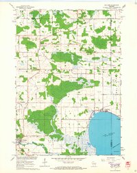
1961 · Poy Sippi
USGS Topo · 1:24,000

1969 · Readfield
USGS Topo · 1:24,000

1969 · Northport
USGS Topo · 1:24,000