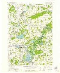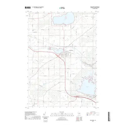
1969 Map of Weyauwega
USGS Topo · Published 1990About this map
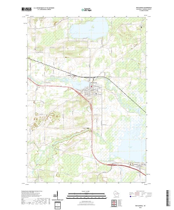
White Lake and the winding Waupaca River define the watery landscape of this Waupaca County region in the late 1960s. The city of Weyauwega serves as a central hub, where the Soo Line railroad crosses near the County Fairground and Oakwood Cemetery. The map captures a transition between organized municipal space and the sprawling wetlands of the Wolf River bottomlands to the southeast. To the north, Butternut Ridge provides a distinct topographic contrast, home to the Butternut Ridge Cem. In the village of Fremont, the river connects to the expansive Partridge Lake, illustrating the importance of these waterways for both local geography and the regional economy. Smaller rural landmarks, such as Hatton Cem and the County Hospital, are scattered throughout the townships of Royalton, Weyauwega, and Fremont.
Find a feature on this map
38 named features on this map. Tap any name to fly to it.
Don’t see what you’re looking for? This feature index may not catch every label — zoom into the map to look around manually.
Map Details
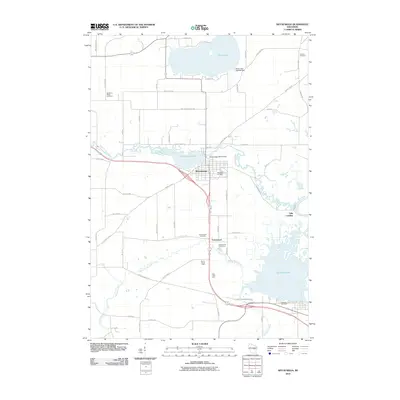
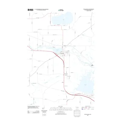
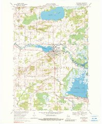
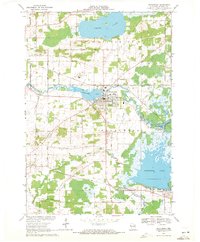
Editions of this 1969 Weyauwega Map
2 editions found
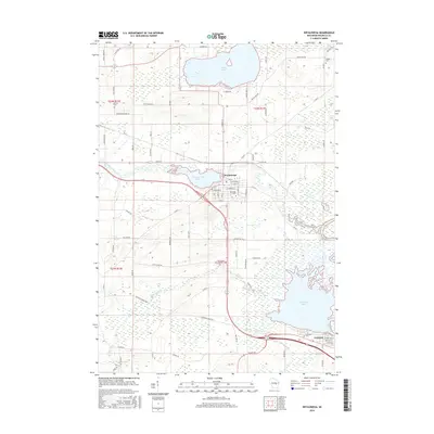
Historical Maps of Weyauwega Through Time
7 maps found