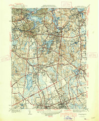
1941 Map of Weymouth
USGS Topo · Published 1941About this map
The Fore River Shipyard and the adjacent Electric Power Plant dominate the northern coastline, reflecting the intensive maritime industry of the South Shore during the late 1930s. This survey shows the dense urban expansion from Braintree and Weymouth toward the harbor, contrasting with the sprawling United States Naval Reservation along the Weymouth Back River. The landscape is a mix of tidal inlets like Mill Cove and inland water bodies such as Whitmans Pond, interconnected by the New York New Haven and Hartford rail lines.
Find a feature on this map
128 named features on this map. Tap any name to fly to it.
Don’t see what you’re looking for? This feature index may not catch every label — zoom into the map to look around manually.
Map Details
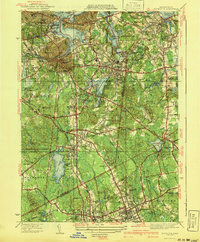
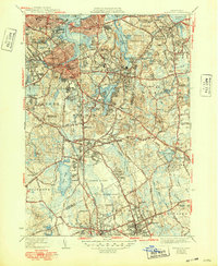
Editions of this 1941 Weymouth Map
3 editions found
Other maps of this area

1885 · Abington
USGS Topo · 1:62,500

1886 · Dedham
USGS Topo · 1:62,500

1888 · Abington
USGS Topo · 1:62,500

1892 · Boston Bay
USGS Topo · 1:62,500

1893 · Abington
USGS Topo · 1:62,500

1893 · Boston
USGS Topo · 1:62,500

1894 · Dedham
USGS Topo · 1:62,500

1903 · Boston
USGS Topo · 1:62,500

1903 · Boston Bay
USGS Topo · 1:62,500

1919 · Dedham
USGS Topo · 1:62,500