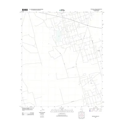
2012 Map of Whalen Lake
USGS Topo · Published 2012About this map
Whalen Lake anchors this landscape in Andrews County, appearing as a prominent natural basin amidst a highly regularized grid of ranch and industrial access roads. The 2012 geography is defined by the energy sector, specifically the Block Thirteen Oil Field in the northeast and the Nix Oil Field further south. These fields are connected by a dense network of local routes such as Thornberry Rd and Block Road 12. Major thoroughfares like Fm-181 and Fm-1967 provide the primary transit corridors through the region, reflecting the modern industrial character of the Texas Permian Basin. The map illustrates the specialized infrastructure required for large-scale resource extraction, where surveyed blocks and numbered section roads have largely replaced traditional settlement patterns.
Find a feature on this map
13 named features on this map. Tap any name to fly to it.
Don’t see what you’re looking for? This feature index may not catch every label — zoom into the map to look around manually.
Map Details
Editions of this 2012 Whalen Lake Map
This is the sole edition of this map. No revisions or reprints were ever made.
Other maps of this area

1954 · Hobbs
USGS Topo · 1:250,000

1958 · Hobbs
USGS Topo · 1:250,000

1968 · North Cowden NW
USGS Topo · 1:24,000

1971 · Frankel City
USGS Topo · 1:24,000

1971 · Jumbo Hill
USGS Topo · 1:24,000

1971 · Figure Seven Ranch
USGS Topo · 1:24,000

1971 · Whalen Lake
USGS Topo · 1:24,000

1971 · Frankel City SW
USGS Topo · 1:24,000

1971 · Sand Ranch
USGS Topo · 1:24,000

1971 · Shafter Lake
USGS Topo · 1:24,000