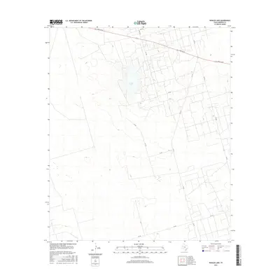
2016 Map of Whalen Lake
USGS Topo · Published 2016About this map
Whalen Lake sits at the center of this 2016 survey, a notable depression in the high plains of West Texas. The landscape is defined by a sparse but regular grid of rural infrastructure, reflecting the region's methodical development for resource access and ranching. Major transportation corridors like Ranch Rd 87 and N Fm 181 cut through the terrain, connecting this corner of Andrews County to broader regional markets. The map reveals a dense network of secondary local routes such as Co Rd 7001 and SW 7001, which navigate a complex system of industrial and agricultural tracts. This 21st-century record provides a clear view of how modern surveying and land use have organized the semi-arid environment, preserving the names of vital farm-to-market roads like Fm 1967 and Fm 2371 that sustain the local economy.
Find a feature on this map
14 named features on this map. Tap any name to fly to it.
Don’t see what you’re looking for? This feature index may not catch every label — zoom into the map to look around manually.
Map Details
Editions of this 2016 Whalen Lake Map
This is the sole edition of this map. No revisions or reprints were ever made.
Other maps of this area

1954 · Hobbs
USGS Topo · 1:250,000

1958 · Hobbs
USGS Topo · 1:250,000

1968 · North Cowden NW
USGS Topo · 1:24,000

1971 · Frankel City
USGS Topo · 1:24,000

1971 · Jumbo Hill
USGS Topo · 1:24,000

1971 · Figure Seven Ranch
USGS Topo · 1:24,000

1971 · Whalen Lake
USGS Topo · 1:24,000

1971 · Frankel City SW
USGS Topo · 1:24,000

1971 · Sand Ranch
USGS Topo · 1:24,000

1971 · Shafter Lake
USGS Topo · 1:24,000