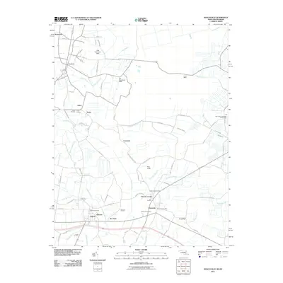
2011 Map of Whaleyville
USGS Topo · Published 2011About this map
The Pocomoke River and its complex network of tributaries, such as Gum Branch and Green Run, define this landscape along the Maryland-Delaware border. This coastal plain region is dotted with historic rural settlements including Whaleyville, Willards, and Gumboro, each tied to the land by long-standing family and community landmarks. Genealogists will find a wealth of records in the numerous burial sites across the quadrangle, from the Bethel Cemetery and Twilley Cemetery in the west to the Dale Cemetery and Pulletts Chapel Cemetery near Duncan Crossing. The presence of the Whaleyville Post Office and Willards Post Office indicates the continued importance of these small hubs. Distinctive landforms like Big Newfound Neck and Lewis Neck rise slightly above the surrounding waterways, illustrating the drainage patterns that have influenced local agriculture and road networks like Bethel Rd for generations.
Find a feature on this map
82 named features on this map. Tap any name to fly to it.
Don’t see what you’re looking for? This feature index may not catch every label — zoom into the map to look around manually.
Map Details
Editions of this 2011 Whaleyville Map
This is the sole edition of this map. No revisions or reprints were ever made.
Other maps of this area

1901 · Ocean City
USGS Topo · 1:62,500

1902 · Pittsville
USGS Topo · 1:62,500

1917 · Millsboro
USGS Topo · 1:62,500

1918 · Rehoboth
USGS Topo · 1:62,500

1938 · Millsboro
USGS Topo · 1:62,500

1938 · Rehoboth
USGS Topo · 1:62,500

1942 · Ocean City
USGS Topo · 1:62,500

1942 · Ninepin
USGS Topo · 1:24,000

1942 · Wango
USGS Topo · 1:24,000

1942 · Whaleysville
USGS Topo · 1:24,000