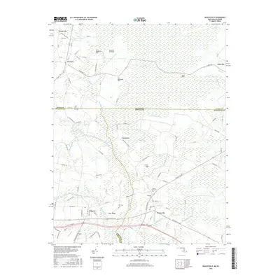
2016 Map of Whaleyville
USGS Topo · Published 2016About this map
The Little Annemessex River and the upper reaches of the Pocomoke River define the intricate drainage of the Delmarva Peninsula along the Maryland-Delaware border. This landscape is a mosaic of agricultural fields and significant wetlands, including the expansive Cypress Swamp and the Careytown Swamp. Small settlements such as Whaleyville, Careytown, and New Hope serve as central nodes for the surrounding rural communities, connected by a network of historic roads like Cypress Rd and Old Ocean City Rd. Genealogists will find a high density of small family and community burial grounds, from the Whaleyville Cem to the smaller Dennis Cem and Pulletts Chapel Cem, which anchor the local history of these border counties. The mapping of features like Big Newfound Neck and Pine Ridge illustrates the subtle elevation changes that directed early settlement and land use across these low-lying marshlands.
Find a feature on this map
112 named features on this map. Tap any name to fly to it.
Don’t see what you’re looking for? This feature index may not catch every label — zoom into the map to look around manually.
Map Details
Editions of this 2016 Whaleyville Map
This is the sole edition of this map. No revisions or reprints were ever made.
Other maps of this area

1901 · Ocean City
USGS Topo · 1:62,500

1902 · Pittsville
USGS Topo · 1:62,500

1917 · Millsboro
USGS Topo · 1:62,500

1918 · Rehoboth
USGS Topo · 1:62,500

1938 · Millsboro
USGS Topo · 1:62,500

1938 · Rehoboth
USGS Topo · 1:62,500

1942 · Ocean City
USGS Topo · 1:62,500

1942 · Ninepin
USGS Topo · 1:24,000

1942 · Wango
USGS Topo · 1:24,000

1942 · Whaleysville
USGS Topo · 1:24,000