2023 Map of Whaleyville
USGS Topo · Published 2023About this map
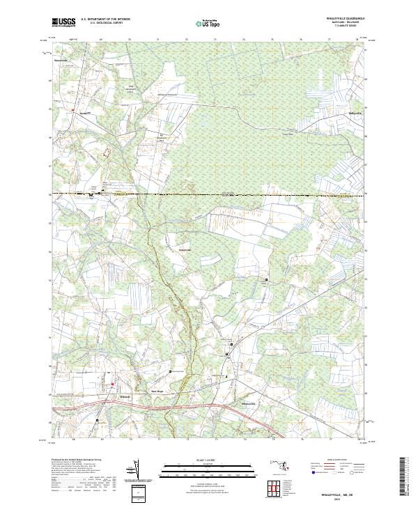
Whaleyville and the surrounding borderlands of the Delmarva Peninsula are defined by a complex hydraulic network where Maryland meets Delaware. This 2023 edition reveals a landscape of expansive wetlands, including the massive Cypress Swamp and Franklin Swamp, which are crisscrossed by agricultural ditches like the Old Line Ditch. The settlement pattern follows the high ground of features like Pine Ridge, where small family burial grounds such as the Littleton Family Cem and Twilley Family Cem offer significant data for genealogists tracing local lineage. The southern portion of the map is dominated by the Ocean Gateway corridor, connecting Willards to the village of Whaleyville. Notable landmarks such as Pulletts Chapel and several cemeteries near Bethel Church indicate long-standing community centers. The map also traces the headwaters of the Pocomoke River and its numerous tributaries like Gum Branch and Green Run, illustrating the intricate drainage systems vital to this coastal plain region.
Find a feature on this map
94 named features on this map. Tap any name to fly to it.
Don’t see what you’re looking for? This feature index may not catch every label — zoom into the map to look around manually.
Map Details
Editions of this 2023 Whaleyville Map
This is the sole edition of this map. No revisions or reprints were ever made.
Historical Maps of Duncan Crossing Through Time
1 maps found