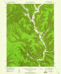
1948 Map of Wharton
USGS Topo · Published 1958About this map
First Fork Sinnemahoning Creek carves a deep valley through this Potter County landscape, where small hamlets like Costello and Wharton sit at the confluence of various mountain runs. The 1948 field check reveals a community defined by its remote valleys, with family names preserved in landmarks like Kerkendahl Hol and Cooney Hol. This era shows the continued importance of the waterway and the early road network, including the Chicago Springs Road Trail and the local influence of the Lumber and Portage townships.
Find a feature on this map
56 named features on this map. Tap any name to fly to it.
Don’t see what you’re looking for? This feature index may not catch every label — zoom into the map to look around manually.
Map Details
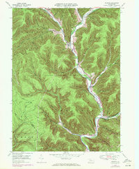
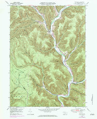
Editions of this 1948 Wharton Map
3 editions found
Other maps of this area

1945 · Driftwood
USGS Topo · 1:48,000

1945 · First Fork
USGS Topo · 1:24,000

1945 · Cameron
USGS Topo · 1:24,000

1946 · Renovo West
USGS Topo · 1:62,500

1946 · Hammersley Fork
USGS Topo · 1:24,000

1947 · Cameron
USGS Topo · 1:24,000

1947 · First Fork
USGS Topo · 1:24,000

1947 · Conrad
USGS Topo · 1:62,500

1947 · Conrad
USGS Topo · 1:24,000

1947 · Ayers Hill
USGS Topo · 1:24,000