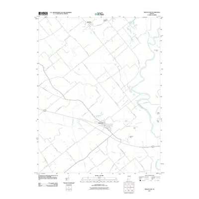
2011 Map of Wheatland
USGS Topo · Published 2011About this map
The White River winds through this Knox County landscape, defining the eastern boundary of a region shaped by agricultural drainage and riverine commerce. The town of Wheatland sits as a central hub, surrounded by a complex network of managed waterways including Steen Ditch, Roberson Ditch, and Frick Ditch, which underscore the area's history of land reclamation for farming. These engineered channels cut through the terrain alongside natural features like Ghost Hollow Creek and Nimnicht Creek.
Find a feature on this map
70 named features on this map. Tap any name to fly to it.
Don’t see what you’re looking for? This feature index may not catch every label — zoom into the map to look around manually.
Map Details
Editions of this 2011 Wheatland Map
This is the sole edition of this map. No revisions or reprints were ever made.
Other maps of this area

1942 · Fritchton
USGS Topo · 1:24,000

1943 · Oaktown
USGS Topo · 1:24,000

1943 · Bicknell
USGS Topo · 1:24,000

1943 · Plainville
USGS Topo · 1:24,000

1944 · Fritchton
USGS Topo · 1:24,000

1944 · Washington
USGS Topo · 1:24,000

1944 · Monroe City
USGS Topo · 1:24,000

1944 · Wheatland
USGS Topo · 1:24,000

1944 · Iona
USGS Topo · 1:24,000

1945 · Sandy Hook
USGS Topo · 1:24,000