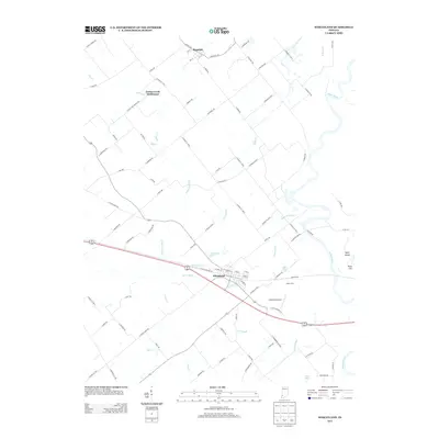
2013 Map of Wheatland
USGS Topo · Published 2013About this map
Wheatland serves as the central hub of this agricultural and riparian landscape in Knox County, situated at the junction of modern thoroughfares and historical watercourses. The town's grid sits just north of Steen Ditch and the winding path of Opossum Br, reflecting the complex drainage patterns essential to this riverfront region. To the east, the White River meanders in broad loops, creating features such as Hyatt Island and Toms Hill. The rural character of the area is further defined by smaller communities like Ragsdale and the Indian Creek Settlement to the north.
Find a feature on this map
95 named features on this map. Tap any name to fly to it.
Don’t see what you’re looking for? This feature index may not catch every label — zoom into the map to look around manually.
Map Details
Editions of this 2013 Wheatland Map
This is the sole edition of this map. No revisions or reprints were ever made.
Other maps of this area

1942 · Fritchton
USGS Topo · 1:24,000

1943 · Oaktown
USGS Topo · 1:24,000

1943 · Bicknell
USGS Topo · 1:24,000

1943 · Plainville
USGS Topo · 1:24,000

1944 · Fritchton
USGS Topo · 1:24,000

1944 · Washington
USGS Topo · 1:24,000

1944 · Monroe City
USGS Topo · 1:24,000

1944 · Wheatland
USGS Topo · 1:24,000

1944 · Iona
USGS Topo · 1:24,000

1945 · Sandy Hook
USGS Topo · 1:24,000